

Temple Hill [Biggar Common]
Good walks are even better shared.
Overview
Temple Hill [Biggar Common]
Situated in the stunning Southern Uplands of Scotland, Temple Hill (481 m) stands as a Marilyn, providing not just a hike but an experience steeped in history and captivating views. The ascent of Temple Hill offers hikers a delightful blend of nature with the added bonus of feeling slightly superior to any flatlanders in the group.
Geology
Temple Hill is primarily composed of fascinating volcanic rock formations, with evidence of glacial activity gracing its lower slopes. This rich geological history adds a layer of intrigue for enthusiasts intrigued by the Earth's evolutionary journey. Be sure to watch the ground underfoot; you may spot interesting stones that spark your inner geologist!
Routes
The Biggar Common Circuit is recommended for those looking to explore the hill. This moderate route spans approximately 8 km and takes about 3 hours to complete. Expect a gradual ascent coupled with stunning scenic views. Remember to carry water – though the views are captivating, they won't quench your thirst!
Terrain
The terrain varies significantly, featuring grassy slopes that eventually transition into rocky outcrops and boggy patches. While it's not Mount Everest, a good pair of hiking boots is still essential; nobody wants soggy socks!
Summit Features
Reaching the summit, visitors are greeted by a prominent cairn. Don’t forget to snap a selfie with this rugged beauty; it’s like a postcard with you in it! Nearby, a trig point stands sentinel, reminding all that you've conquered Temple Hill.
Views
A panorama of the Southern Uplands unfolds from the summit, with the Lammermuirs peeking from the horizon. Spring and early autumn are perfect for a visit when the weather holds its temper and the landscape is draped in vibrant colours. An early morning ascent will reward you with golden rays that will make your Instagram followers green with envy!
Hazards
While hiking is generally safe, be aware of sudden weather changes in this region. Conditions can shift as swiftly as a sheep dodging your hiking boots. Slippery paths can also become a challenge, particularly after rain. It's a good idea to wear sturdy footwear and keep an eye on the sky!
Nearby Summits
If you're feeling adventurous, nearby summits like Cairn Table (570 m) and Tinto (707 m) offer additional options for exploration, each with their unique charm and views.
Access
The nearest parking area is located at NT011397, easily accessed from the B7016 road. Public transport fans can rely on services running to Biggar, the closest town, where various facilities await to cater to your hiking needs.
Facilities
Biggar boasts friendly cafes, shops, and even public toilets. A hot drink and a bite to eat after a trek? Sounds like the perfect reward!
History
The name 'Temple Hill' possibly derives from a chapel that once graced its summit, hinting at the hill's historical importance. The surrounding areas were significant pathways for ancient settlements, adding a rich tapestry of culture and history to your hike.
So, lace up your boots, grab a camera, and prepare for a day of adventure at Temple Hill – a summit worth the trek!
Explore routes near Temple Hill [Biggar Common]
Public walks starting within 80 km of this hill. Nearby does not mean a route reaches the summit; check its map and access before setting out.
Cademuir Forest Pilots Trail
View route
Peebles to Neidpath Castle: Tweed Riverside Walk
View route
East Calder: Almondell, Mandela Bridge and River Almond Circuit
View route
Motherwell: Strathclyde Loch full shoreline circuit
View route
Route planning notes
These notes describe possible approaches, not verified navigable routes or permission to cross land. Check current paths, local access rules and conditions before setting out.
Biggar Common Circuit
A scenic loop starting from the northern end of Biggar Common, offering a gradual ascent with stunning views along the way.
Make a day of it, together
Find someone to share the walk with, or organise a day out along a route you like.
Photo Gallery
View all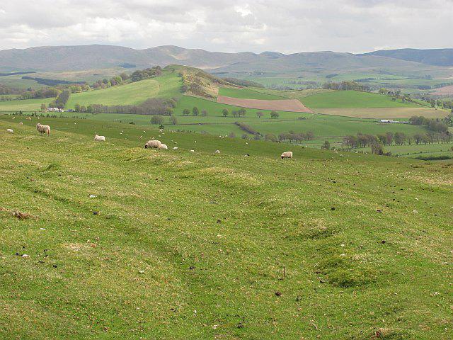 Photo could not load
NT0139 : Old boundary, Biggar Common
Richard Webb
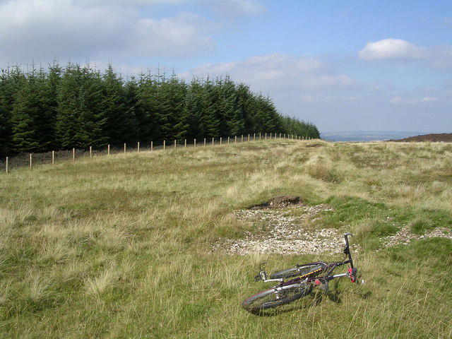 Photo could not load
NT0139 : Summit of Biggar Common
Chris Upson
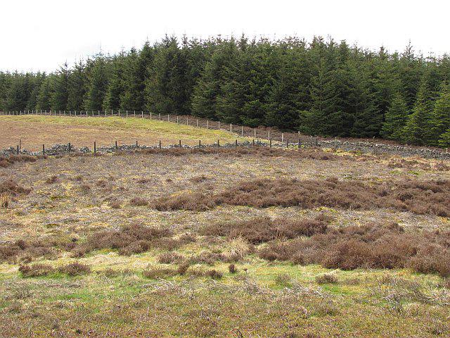 Photo could not load
NT0139 : Summit, Biggar Common
Richard Webb
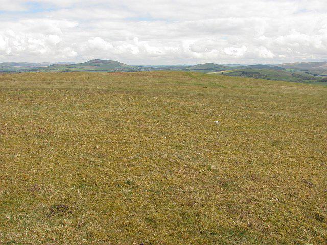 Photo could not load
NT0139 : Moorland, Biggar Common
Richard Webb
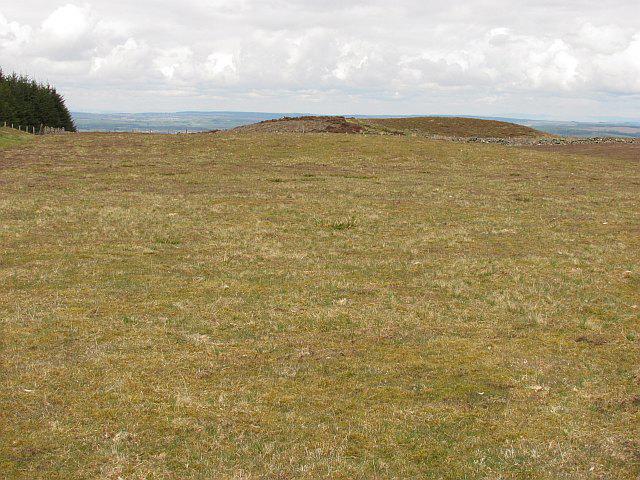 Photo could not load
NT0139 : Summit, Biggar Common
Richard Webb
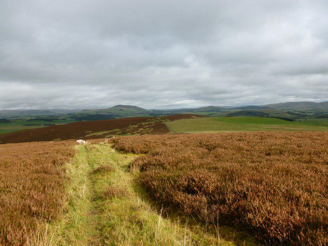 Photo could not load
NT0139 : Heather moorland on Biggar Common
Alan O'Dowd
Hill facts and local notes
Classifications
Elevation
388m
1,273 ft
Prominence
134m
Coordinates
55.6376, -3.5646
NT016393
OS Map
72
Explorer: 336
At the Summit
The summit is marked with a prominent cairn that serves as a great spot for a photo op, and a small trig point lies nearby - so be sure to strike a pose!
Terrain & Geology
Temple Hill is primarily composed of volcanic rock with remnants of glacial deposits in its lower slopes, providing a fascinating insight into the geological history of the area.
Views & Scenery
From the summit, one can enjoy panoramic views of the surrounding Southern Uplands, including the distinct hills of the Lammermuirs and the rolling landscape of the Borders.
History & Heritage
Name Origin
The name 'Temple Hill' is thought to derive from a nearby chapel that once stood on the hilltop, hinting at its historical significance.
Historical Significance
The area is rich in history with remnants of ancient settlements and significant pathways that have been used for centuries by both locals and travellers.
Getting There & Facilities
Check current local access restrictions, parking rules and transport timetables before travelling. These notes do not confirm public access to the summit.
Parking
There is a small parking area at NT011397, just off the B7016 road, where hikers can easily access the start of the Biggar Common Circuit.
Public Transport
The nearest public transport is in the town of Biggar, where buses run from larger towns such as Lanark and Edinburgh.
Nearby Facilities
Biggar offers a range of facilities including cafes, shops, and public toilets - perfect for a post-hike treat or a pre-hike coffee fix.
Safety Information
Known Hazards
- Watch out for sudden weather changes, as conditions can shift quickly. The terrain may also be slippery in wet conditions, especially on the boggy patches.
General Safety Tips
- Check weather conditions before setting out
- Carry appropriate clothing and equipment
- Let someone know your planned route
- Take a map, compass, and GPS device
- Carry emergency supplies: food, water, first aid kit, torch
Hills
Some common questions about the hills answered
Are there group walks up Temple Hill [Biggar Common]?
Many walkers use Walkmates to join or organise walks with others. You can check for group walks around Temple Hill [Biggar Common] through the maps
Are there other walkers around Temple Hill [Biggar Common]?
Activity varies by location and time, but Walkmates lets you see whether others have shared walks or shown interest in this area. Find other people through the walking friends search walking friends for Temple Hill [Biggar Common] search or of course create your own walk for Temple Hill [Biggar Common]
Can I organise a walk to Temple Hill [Biggar Common]?
Yes. If there aren’t any walks listed already, you can create a walk and make it available for others to join.
If you're signed up to Walkmates, you can create a walk to Temple Hill [Biggar Common].
How do I find a walk up this hill?
There are often multiple ways to walk this hill, depending on experience and route preference. Walkmates helps you explore walks and routes that others have shared.
Can I suggest a new route up Temple Hill [Biggar Common]?
Yes. You can suggest or create routes to share with others. Walkmates focuses on the social side of walking, so routes are used to help people organise walks and explore areas together, rather than as detailed navigation tools or route libraries.
Other uses really appreciate knowledgeable walkers sharing their routes. Share your favourite route to Temple Hill [Biggar Common] here
The is an error or something incorrect about this hill. How do I let you know?
We always strive to keep the information on Walkmates as accurate as possible. If you find an error, please let us know through the contact form and we'll aim to correct it as quickly as possible
Community Discussion
Comments
Location
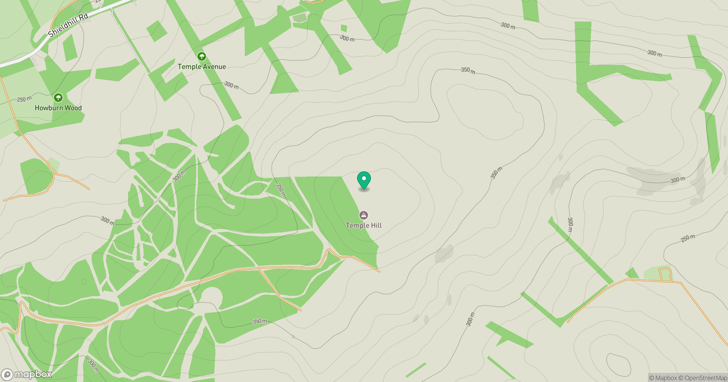
Grid reference: NT016393
View on OpenStreetMapOpens a map in a new tab, centred on the hill.
Hills within 30 km
Straight-line distance, not a walking route or confirmation of access.

No comments yet. Be the first.